

About QGIS
QGIS is a user friendly Open Source Geographic Information System (GIS) licensed under the GNU General Public License. QGIS is an official project of the Open Source Geospatial Foundation (OSGeo). It runs on Linux, Unix, Mac OSX, Windows and Android and supports numerous vector, raster, and database formats and functionalities.

QGIS covers all aspects of GIS
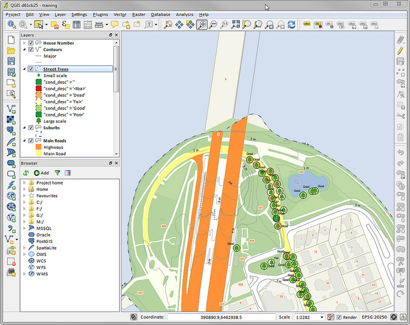
QGIS Desktop
Create, edit, visualise, analyse and publish geospatial information.
For Windows, Mac, Linux, BSD and Android.
QGIS Web Client
Publish your QGIS projects on the web with ease. Benefit from the powerful symbology, labeling and blending features to impress with your maps.
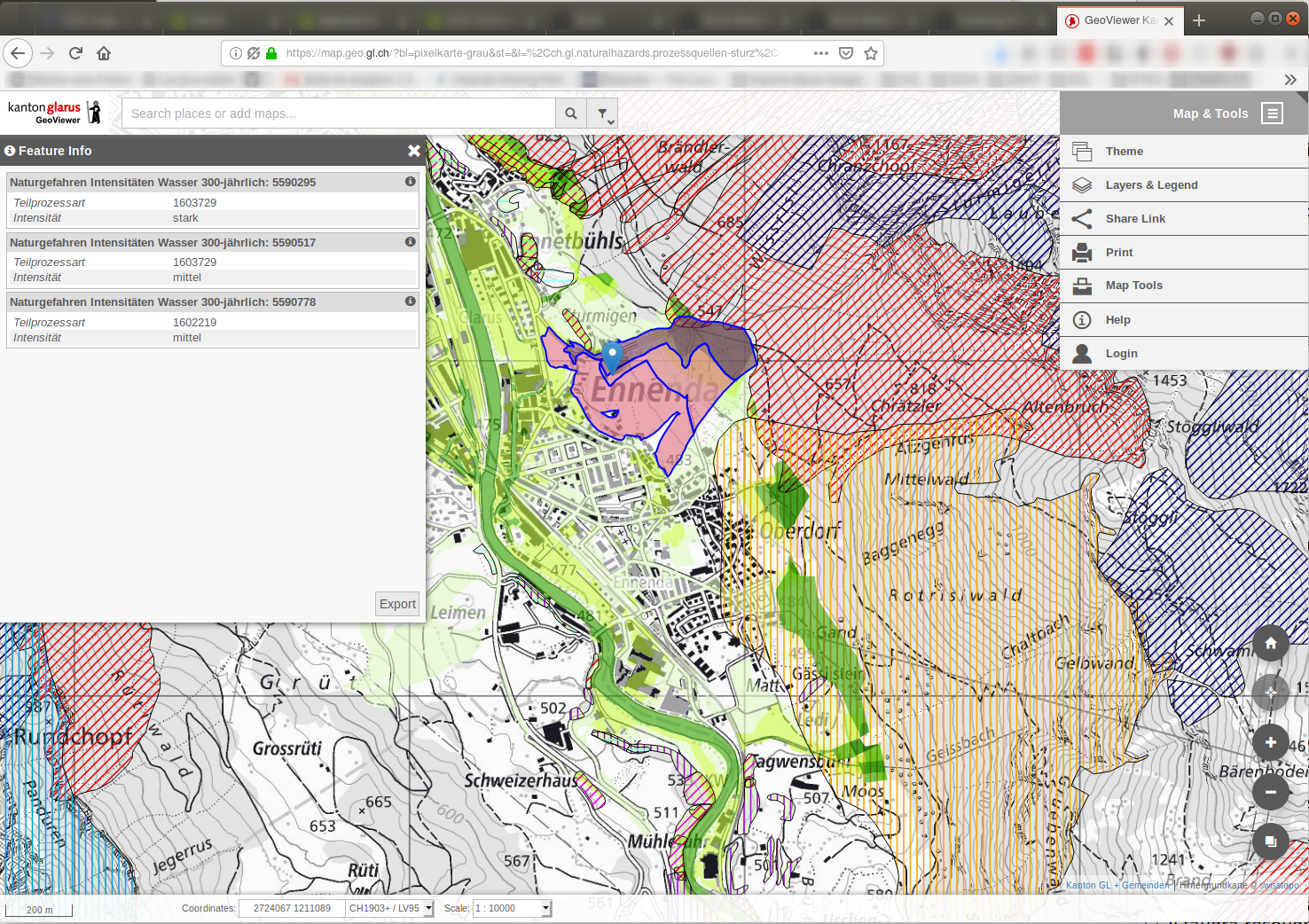
A screenshot of QGIS Web Client
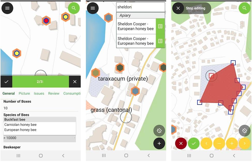
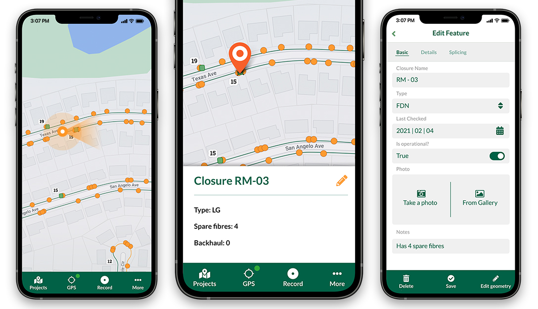
QGIS on mobiles and tablets
The QGIS experience does not stop on the desktop. Various third-party touch optimized apps allow you to take QGIS into the field
QField for QGIS (formerly QGIS for Android)
A screenshot of QField for QGIS (available for Android, Windows, iOS coming soon)
Input
A screenshot of Input (available for Android, Windows, iOS)
QGIS Server
Publish your QGIS projects and layers as OGC compatible WMS, WMTS, WFS and WCS services. Control which layers, attributes, layouts and coordinate systems are exported. QGIS server is considered as a reference implementation for WMS 1.3.
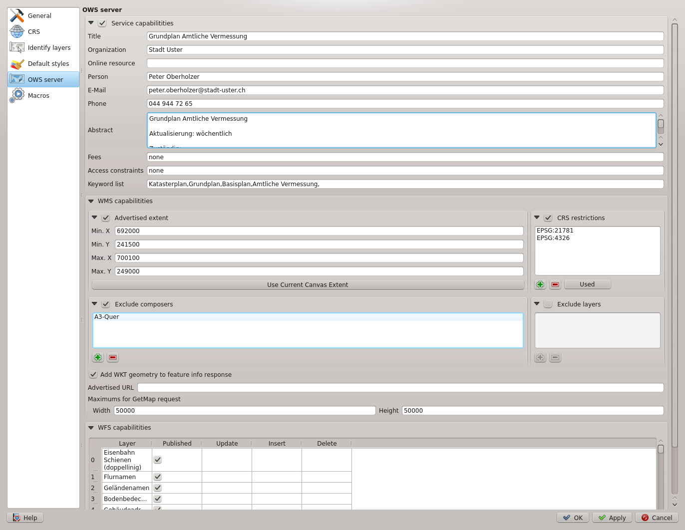
A screenshot of QGIS Server configuration in QGIS Desktop